Researchers predicting above-average 2020 Atlantic hurricane season
(2020-04-02) -- written by Phil Klotzbach
Colorado State University hurricane researchers are predicting an above-average Atlantic hurricane season in 2020, citing the relatively high likelihood that El Niño conditions will not be present as a primary factor. Tropical and subtropical Atlantic sea surface temperatures are currently warmer than their long-term average values and are consequently also considered a factor favoring an active 2020 Atlantic hurricane season.
Note to reporters: You can get the PDF directly.
The tropical Pacific currently has warm neutral ENSO conditions, that is, the waters are slightly warmer than normal in the eastern and central tropical Pacific. CSU currently anticipates that these waters are likely to cool relative to their long-term averages over the next several months. Consequently, they do not anticipate El Niño for the peak of the Atlantic hurricane season. El Niño tends to increase upper-level westerly winds across the Caribbean into the tropical Atlantic, tearing apart hurricanes as they try to form.
The tropical Atlantic is somewhat warmer than normal right now. Warmer-than-normal sea surface temperatures in the tropical Atlantic provide more fuel for tropical cyclone formation and intensification. They are also associated with a more unstable atmosphere as well as moister air, both of which favor organized thunderstorm activity that is necessary for hurricane development.
16 named storms
The CSU Tropical Meteorology Project team is predicting 16 named storms during the Atlantic hurricane season, which runs from June 1 to November 30. Of those, researchers expect eight to become hurricanes and four to reach major hurricane strength (Saffir/Simpson category 3-4-5) with sustained winds of 111 miles per hour or greater.
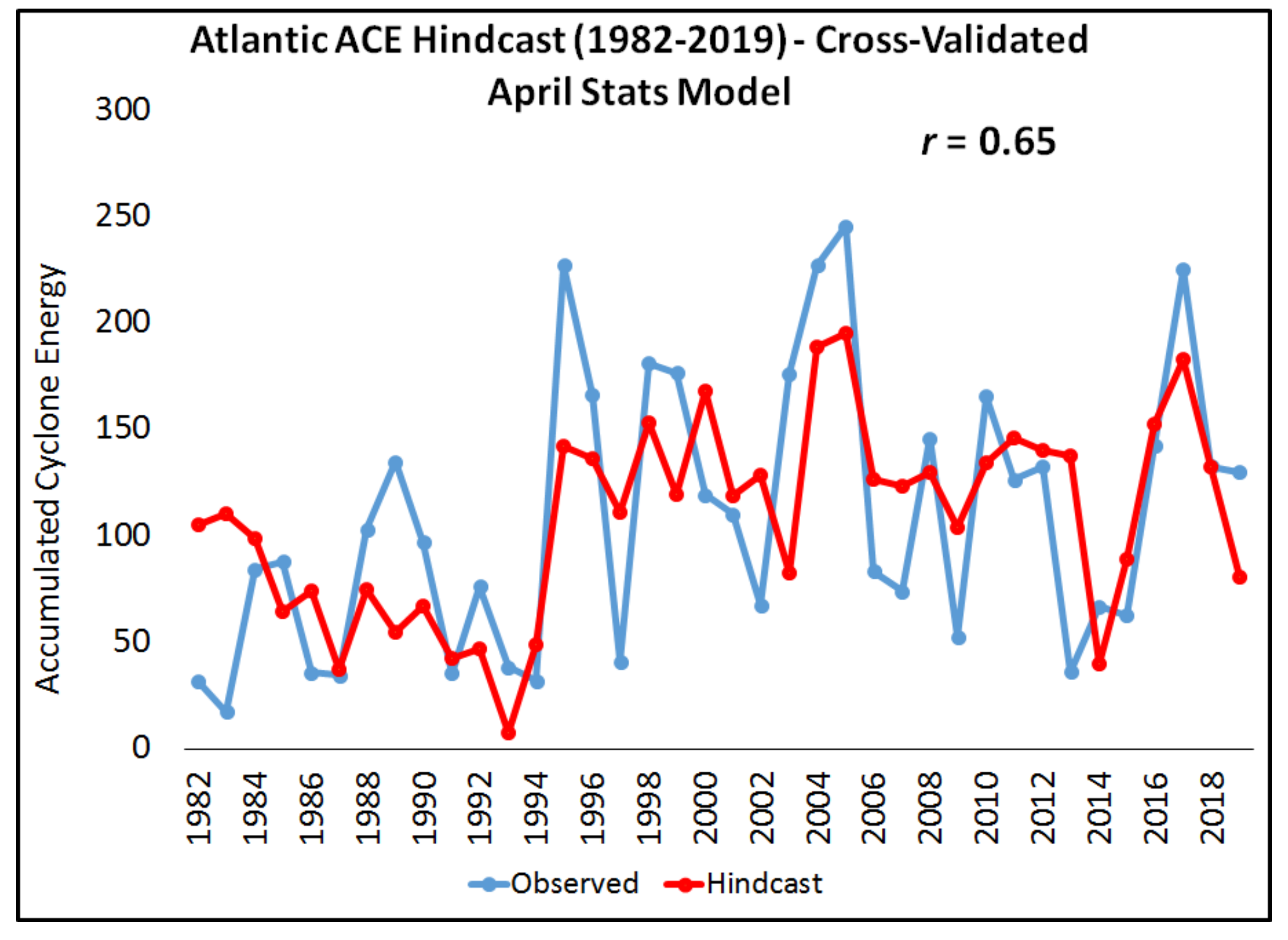
The team bases its forecasts on a statistical model, as well as two new models that use a combination of statistical information and forecasts from dynamical models from the UK Met Office and the European Centre for Medium-Range Weather Forecasts. These models are built on 25-40 years of historical hurricane seasons and evaluate conditions including: Atlantic sea surface temperatures, sea level pressures, vertical wind shear levels (the change in wind direction and speed with height in the atmosphere), El Niño (warming of waters in the central and eastern tropical Pacific), and other factors.